It’s hard to believe that almost two years have gone by since we began our last adventure in South America… but it’s never too late to share our awesome memories and photos with our family and friends.
Our last blog entry ended in the picturesque city of Sucre, Bolivia. Although our ultimate goal was to continue north to Peru, we also wanted to visit the world’s largest salt flat, the Salar de Uyuni. Because of road conditions, it was easiest to reach it by going back through Potosí. This part of our journey was through the Altiplano, the high plateau between western Bolivia and southern Peru. The Altiplano was the site of several pre-Columbian cultures, including the Tiwanaku and the Inca empires.

Our travels from Sucre to Copacabana, Bolivia
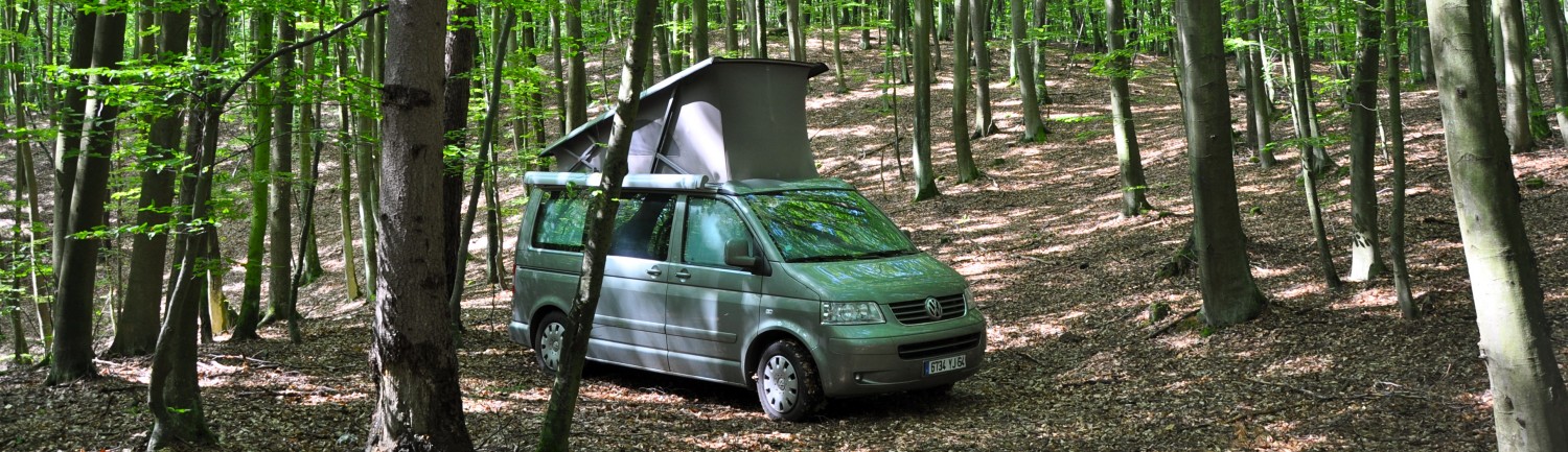
Our drive took us to the desert-like landscape of southwestern Bolivia, through the desolate outpost of Uyuni, then on to the blinding white and freezing cold salt flat. It covers an area of 12,106 sq. km and sits at 3673m (12,050 ft). Most people take an organized tour, but we decided to go on our own. There are no roads (or road signs) so luckily, we were able to follow a tour van to some of the “must-see” attractions. This journey, in my humble opinion, was the highlight of our stay in Bolivia. The harsh landscape, evocative and surreal, became downright eerie at sundown. As darkness settled in, we found the perfect campsite near the village of Coqueza. James’s flamingos were feeding in a nearby salt pond. Above us was the dormant Tunupa Volcano. The next morning, we braved the cold (-17C or 1F) to explore our surroundings.

Uyuni, Bolivia

Altitude at Salar de Uyuni, Boliva – 3673 m

On the way to Salar de Uyuni, Bolivia

Palacio de Sal, Salar de Uyuni, Bolivia

Lobby, Palacio de Sal, Salar de Uyuni, Bolivia

Salt sculptures, Salar de Uyuni, Bolivia

Salt sculptures, Salar de Uyuni, Bolivia

Dakar Rally and Flag Monuments, Salar de Uyuni, Bolivia

Isla Incahuasi, Salar de Uyuni, Bolivia

Isla Incahuasi, Salar de Uyuni, Bolivia

Amazing landscape, Salar de Uyuni, Bolivia

Sunset, Salar de Uyuni, Bolivia

Dawn, Salar de Uyuni, Bolivia

James’s flamingos at dawn, Salar de Uyuni, Bolivia

James’s flamingos at dawn, Salar de Uyuni, Bolivia

View of Tunupa Volcano from our campsite, Salar de Uyuni, Bolivia

Village of Coqueza, Salar de Uyuni, Bolivia

View of Tunupa Volcano and Coqueza, Salar de Uyuni, Bolivia

Fun on the flats, Salar de Uyuni, Bolivia
Leaving our salty wonderland, we headed northwest towards Lake Titicaca. It was a long two-day drive over monotonous gravel roads. We passed through the outskirts of La Paz and stopped for a look at the lost civilization of Tiwanaku. It is said to have risen around 600 BC and melted into obscurity around 1200 AD. Archaeologists have found evidence of its influence on the Inca empire. Many of its treasures were looted by the Spanish and some found their way to European museums but it was fun to see the little that is left, as well as visit the charming village with the same name.

Market at the outskirts of La Paz, Bolivia

Landscape on the way to Tiwanaku, Bolivia

View of Tiwanaku Village and archaeological site, Bolivia

View of Tiwanaku Village and archaeological site, Bolivia

Tiwanaku Archaeological Site, Bolivia

Tiwanaku Archaeological Site, Bolivia

Tiwanaku Archaeological Site, Bolivia

Tiwanaku Archaeological Site, Bolivia

Tiwanaku Archaeological Site, Bolivia

Vendor at Tiwanaku Archaeological Site, Bolivia

Museo Litico Monumental, Tiwanaku Archaeological Site, Bolivia

Plaza, Tiwanaku Village, Bolivia

Iglesia San Pedro, Tiwanaku Village, Bolivia

Plaza in village near Tiwanaku, Bolivia
There were more gravel roads to navigate on the way to Lake Titicaca, the site which said to be the birthplace of Inca civilization. The lake straddles Bolivia and Peru, covering an expanse of 8400 sq. km. and at an elevation of 3808m (12,493 ft.) Finally, we arrived at the lake and took a ferry to the side that would lead us to the lively, touristic town of Copacabana. Along the way we camped on a cliff with a picturesque view of the lake, then we continued on. While in Copacabana we stayed at a campground on the beach, met a lot of interesting travelers from a variety of countries and discovered vestiges of Inca culture as we explored the town. At the moorish style cathedral, we witnessed the traditional “blessing” of cars. Locals bring their cars to the priest, along with their infants, to be baptized! We also took a full-day excursion to Isla del Sol, a large island with several traditional communities, some indigenous ruins and good hiking. Then it was time to cross the border along the lake, into Peru.

View of Lake Titicaca, Bolivia

View of Lake Titicaca, Bolivia

Our campsite overlooking Copacabana, Lake Titicaca, Bolivia

View of Copacabana, Lake Titicaca, Bolivia

Cars decorated for blessing by priest, Copacabana, Bolivia

Traditional car blessing ceremony, Copacabana, Bolivia

Market stalls outside cathedral, Copacabana, Bolivia

Inca Warrior Monument, Lake Titicaca, Copacabana, Bolivia

View from our hike on Isla del Sol, Bolivia

Ruins on Isla del Sol, Lake Titicaca, Bolivia

Ruins on Isla del Sol, Lake Titicaca, Bolivia

Hiking at Isla del Sol, Lake Titicaca, Bolivia

Hiking at Isla del Sol, Lake Titicaca, Bolivia
What breathtaking photographs! And I would never have known that Lake Titicaca and Copacabana are in the same area. One reminds me of Ricky Ricardo (his nightclub) and the other of W C Fields ( he loved the name “titicaca”). Congratulations on pulling all this together. The 1 degree F temperature did not appeal though the gorgeous landscapes do.
What a great adventure! The pictures are excellent. I loved the picture of the Cathedral in Bolivia!
Thanks for the memories! Seeing your images confirms Bolivia as the most fascinating country in South America, poor and desolate as it is. I’m not sure how it’s changed since 1999, I think the indigenous people have become more political, fighting for their rights to the land and resources. How they manage to live in that harsh climate, I will never know.